Lies in
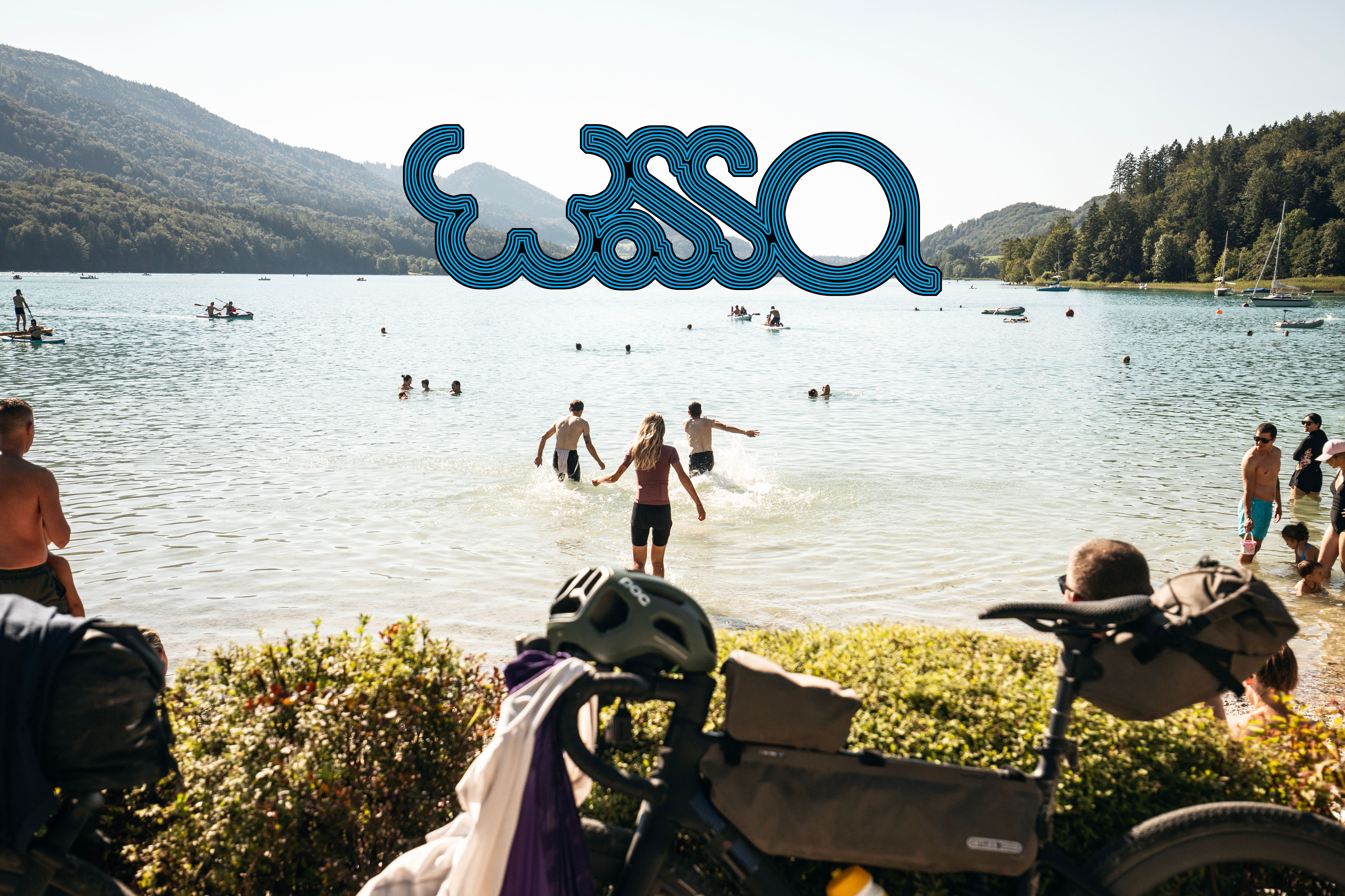
WOSSA - Bikepacking Route
7 Tage Bikepackingtrip
E-Bike Friendly
Explore water circulation in the Alps by bike
Routenbeschreibung
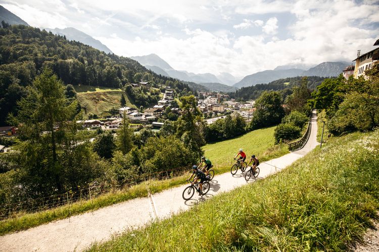
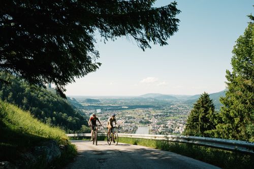
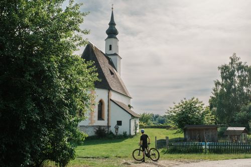
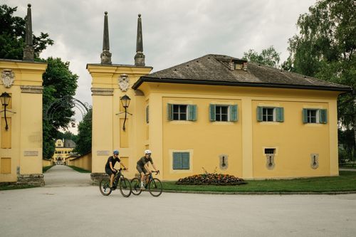
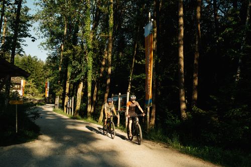
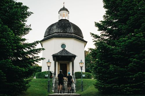
The Route
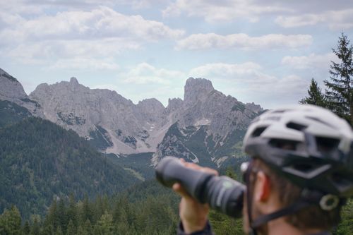
The route can be tackled from May to October, depending on the snow at higher altitudes. Of course, it can also be too cold and unstable earlier, or the route can be travelled earlier or even later.
We have made sure that you can get on at various points, which is why you can see all the major railway stations marked in the POIs on the map.
With just over 560 kilometres and just over 8000 metres of altitude in total, we recommend that you take between 5 and 7 days. If you want to cycle faster or slower, you can! We marked the larger towns and accommodation options on the map.
As a ‘figure of eight’, you can also ride either just the northern half or the southern half, and even the Berchtesgaden loop in isolation would be possible as a day tour!
As you can see, the entry should be as easy as possible and the route as inclusive as it can get. The terrain is designed for gravel bikes and while you might get a little shaken up sometimes or have to master a steep climb, everything is rideable and should offer you fun and a great experience.
If something changes, for example a path is not passable, there is damage to a path or a new ‘no cycling’ sign has appeared, please let us know!

Share your stories and experiences on the WOSSA Bikepacking Route:
#rideWOSSA
#gravgrav
@gravgrav.cc
This Project was realized with the help of
![]()
Stages


Lies in
Lies in
Lies in
Lies in
Lies in
Lies in